We’re still getting fairly gorgeous sunrises and sunsets in Minnesota, thanks to the wildfires burning out West.
What else can the fires provide? Thunderstorms, according to NASA’s earth observatory.
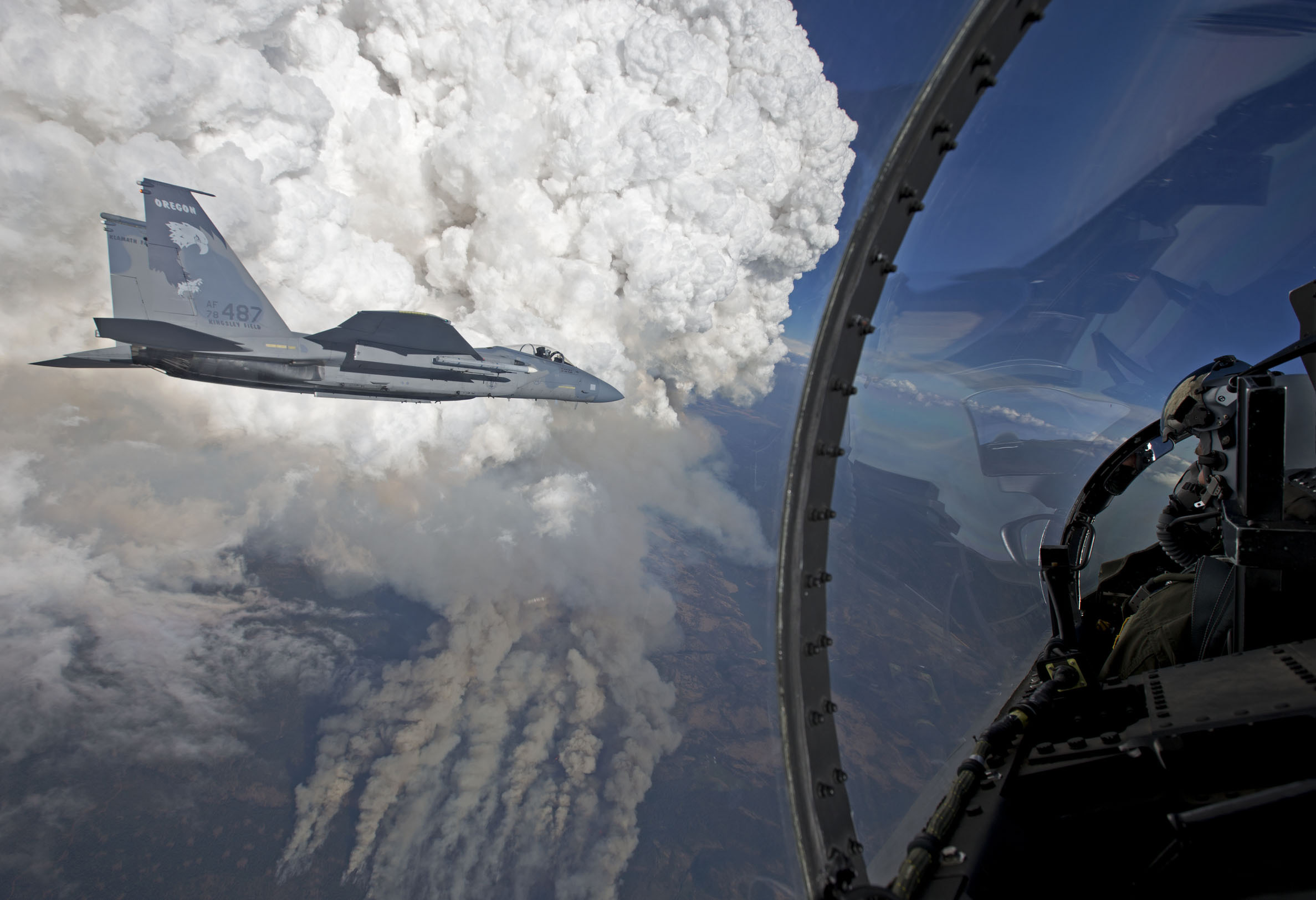
In images provided this week, NASA notes that the heat of the wildfires creates Pyrocumulus clouds when conditions are right, which they are.

Says NASA:
Pyrocumulus clouds—sometimes called “fire clouds”—are tall, cauliflower-shaped, and appear as opaque white patches hovering over darker smoke in satellite imagery. Pyrocumulus clouds are similar to cumulus clouds, but the heat that forces the air to rise (which leads to cooling and condensation of water vapor) comes from fire instead of sun-warmed ground. Under certain circumstances, pyrocumulus clouds can produce full-fledged thunderstorms, making them pyrocumulonimbus clouds.
It’s another example of the beauty nature provides in disasters.
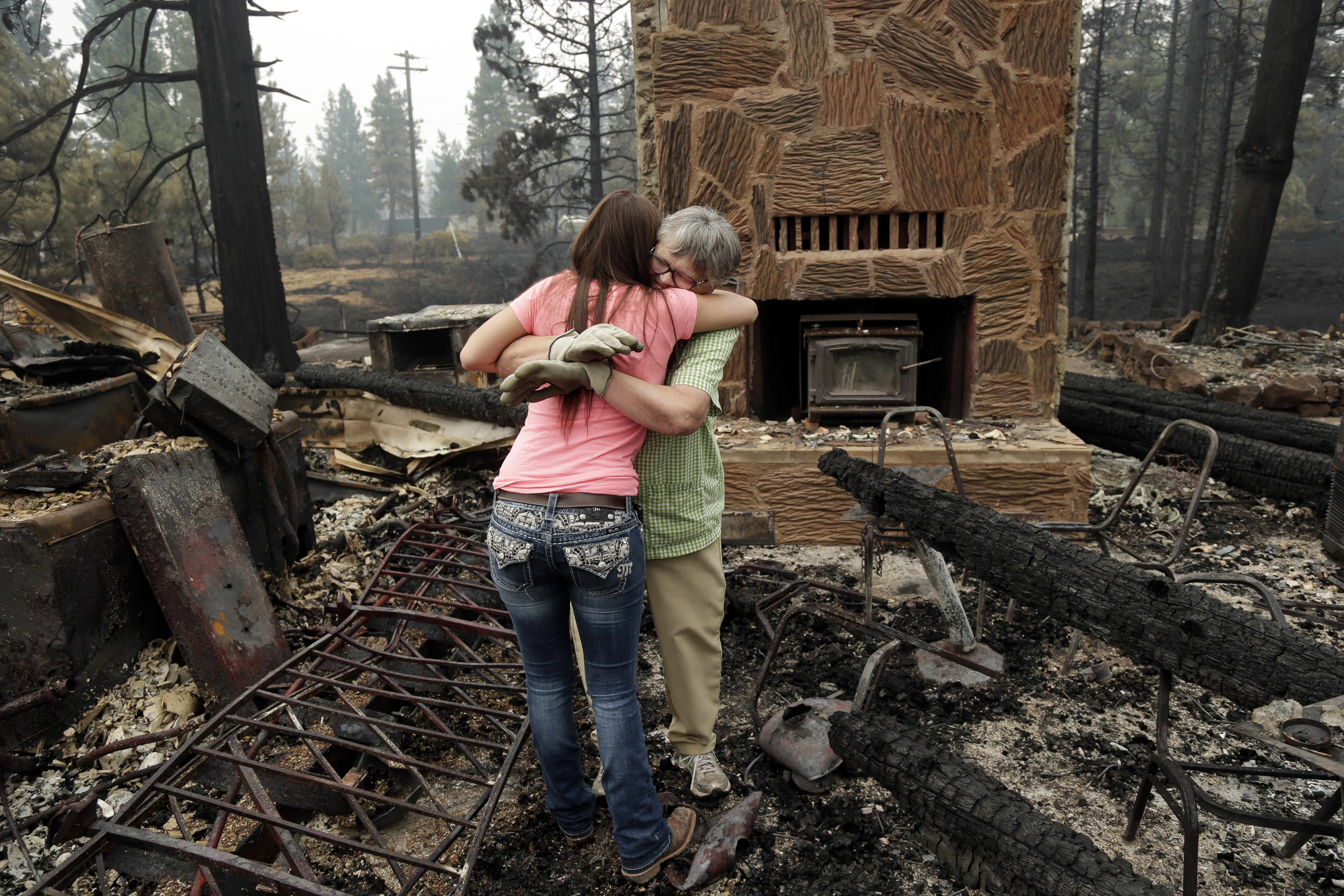
On the ground? Not so much.

(h/t: Hart Van Denburg)
